-
Technique Documentation- performance modeling
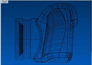
In Rhino there is a command to set the Gradient in the background of the viewports. Select the GradientView command. With this tool the visibility of gradient can be altered. For changing the settings input –GradientView, and then you can change colors. This is useful when the grasshopper definition is subtle, and the changes in the grid […]
-
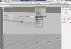
FENCE CONSTRUCTING/ ADDING / ANTIMATING USING 3DS MAX A fence was modeled to allow for an animated separation between the road and levee infrastructures. Additional video and elements were compiled in After Effects following the constructing of the fence. The final video is influenced by the works of Pan Chan-wook and Michel Gondry. My video […]
-
Technical Illustration
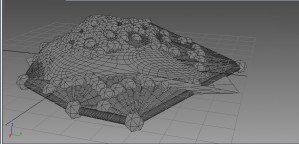
Hidden Line rendering in 3ds max is a tool to create an alternate vision to aid in the modeling process. The option is located under render setup, clicking the Quicksilver renderer (New with 2012 edition) and creating a Visual Style by choosing Hidden Line from the menu. This view does not require materials, and unlike […]
-
Acrylic + Laser Cut
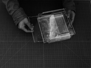
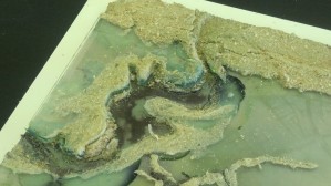
After receiving this assignment, I was attracted by the spot where two canals join together, where next to the drown plantation Kristi ever told about. The ecotones of the given site are narrow holocene meander belts surrounded by deltaic coastal marshes. Due to the severe sea erosion, people living here tend to move to highland. […]
-
Modeling Toxins and Urban Areas
The Lafyette Loess Plains ecotone encompasses an urban area, at least as it is defined by the Census Bureau. I discovered this while analyzing a DEM file in GIS. Within my assigned ecotone I decided to map the urban areas as well as toxic inventory sites. The aim was to see how the two overlapped with the […]
-
Modeling Infrastructure as Connective Tissue
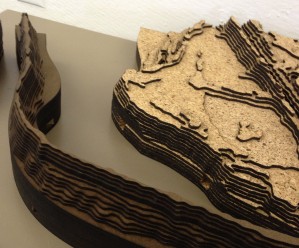
My assigned section is bisected horizontally by the lower half of the Baton Rouge to New Orleans Mississippi River corridor. The 144,000 ft by 192,000ft area shows over 30 miles of refineries and suburban towns stretching from Lutcher to Meterie, Louisiana. The topography, transport infrastructure, ecotones, urban development of this area almost […]
-
Modelling a Water/Levee Relationship
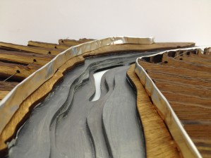
The site that I modeled is an inland swamp area that includes part of Lake Fausse Pointe and a water channel, separated by a levee road. It is this separation of the two water bodies that I decided to investigate further with my modelling process. I pulled together 4 digital elevation maps in ArcGIS to […]
-
Modeling a Coastal Marsh
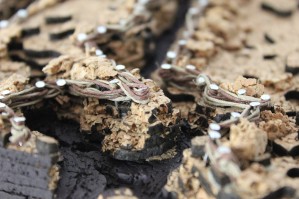
The study began with an analysis of human intervention within a Louisiana costal marsh. I studied shape and DEM files to discover the primary human interest within this area, oil. Oil pipelines, oil wells, dredged canals, spoil banks, and waterways carved into the landscape caused land subsidence and a reduction of plant life. A digital […]
-
Stereolithography and Rapid Prototyping
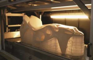
First patented in 1983 by inventor Chuck Hull, stereolithography (SLA) is a three-dimensional printing technology that is used in producing models, prototypes and production parts. This technology has a variety of applications, including manufacturing, medicine, casting and architectural modeling. What differentiates stereolithography from other three-dimensionally printed media is the speed and level of detail offered. […]
-
Modeling as part of design process
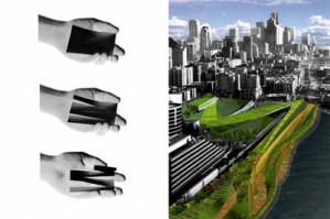
The interdisciplinary design practice of Weiss/ Manfredi based in New York is well known for their integration of architecture, art, infrastructure, and landscape design in their projects. The firm relies heavily on model building as part of their design process that begins with simple sketches, progresses on to conceptual models, and culminates with detailed models […]

