Archive for the ‘Google Earth’ Category
-
+ The Story of Bayou Lafourche + Creating a Zoom-in Video with Google Earth
With this composite video, I try to tell a story of Bayou Lafourche from the old ages to the future. The first part of this video is a series of zoom-in scenes that shows the location and the whole route of the bayou. At last of this part, the camera is focused on where the […]
-
Creating a Section Using Google Earth
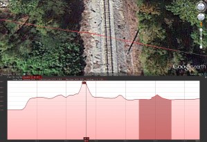
This method allows you to quickly find a section cut line from the terrain models that are part of Google Earth. Keep in mind that the results shown have an exaggerated vertical elevation which may not work in some situations. The vertical exaggeration can be adjusted by re-sizing the window, although this cannot be accomplished […]


