-
Technique Documentation: Exploring Topography and Hydrology in Grasshopper
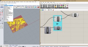
Concept: Our composite project focuses on the development of the surrounding areas of Bayou Lafourche. This area changed in the ways of topography, ecology and hydrology. In the generative part, topography and hydrology changes are shown through Rhino model and grasshopper definition. Techniques: Topography: 1.Open the sampler grasshopper definition. 2.Double click on the DEM image. In […]
-
Constructing A Flexible Levee System In Grasshopper
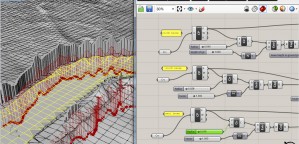
The project contains exaggerated levee systems set within the New Orleans landscape. This exercise manipulates a grasshopper script to allow the levee to gap, rise and fall. Prior to building a script, I brought an Arc GIS, dem file into Rhino. The surface generates the topography from the black and white image by using a […]
-
Technique Documentation: Continuous changing through Grasshopper
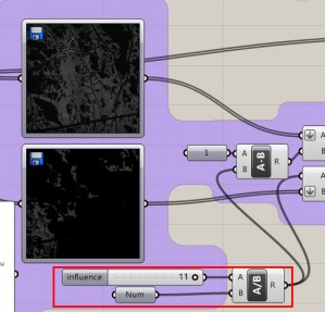
This assignment aims to generate continuous changing by Grasshopper. The prototype of the calculator is assembled in the model “combine_mesh-Manipulating Terrain (multiple images).gh”, I put several adjustment to make it work for my assignment 4.0. The original calculator shows how a model gradually changes to another, and cast onto a terrain. Thus, the key adjustments […]


