-
Technique Document – Combine 3d model with Collage
Our group intend to reconnect the Bayou Lafourche and Mississippi River in the future. So, we collect the information of historical events of the Bayou Lafourche and Mississippi River. Before 1905, the Bayou Lafourche was connected with Mississippi River. Then, after 1905, the Bayou Lafourche was disconnected with Mississippi River, resulting in the water of […]
-
Create Exploding Levee with Rhino and 3ds Max
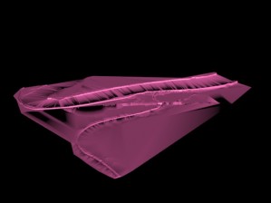
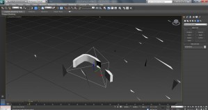
This project used a modeled terrain of New Orleans (made with a DEM file and manipulated in Rhino), with an exaggerated height levee system, to explore a permanent evacuation scenario for the city if/when the levees fail again. One portion of this exploration was levee system failure due to storm events. To show the levee […]
-
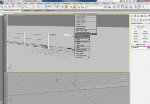
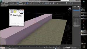
FENCE CONSTRUCTING/ ADDING / ANTIMATING USING 3DS MAX A fence was modeled to allow for an animated separation between the road and levee infrastructures. Additional video and elements were compiled in After Effects following the constructing of the fence. The final video is influenced by the works of Pan Chan-wook and Michel Gondry. My video […]
-
Collage and 3ds max Techniques
For the work, I used some technics of 3dmax and photoshop to represent the green infrastructure control of flood and constructed control of flood, for the instance of dam during the flooding. So, I imagined and imitated a small village of Louisiana to suffer from the flood, in order to show the green infrastructure and […]
-
Crossing the Line
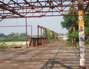
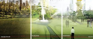
Crossing the Line Many times serious re-evaluation of systems occur after a traumatic event. In this narrative I will be re-evaluating designing for a city after degradation of the earth, and the evacuation of humans. This scene happens in a time frame of 2030 through year of 3020. As the Earth naturally replenishes, […]
-
Narrative through Compositing
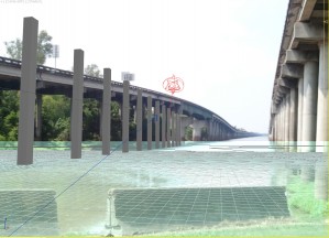
I used the technique of compositing to construct a narrative on the ecology, infrastructure, and environment around the interstate that traverses the Atchafalaya basin. More specifically, my narrative deals with a proposal introduced to improve the ecology of the region. I created my narrative by overlaying the model built in 3ds max over site photographs. […]
-
Procedures for modeling from an AutoCAD file in 3DS Max
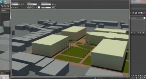
Procedures for modeling from an AutoCAD file in 3DS Max: Make preliminary decisions about what you are wanting to model in the scene. This can be buildings, planters, paving, grass, water, etc. It’s important that you have an idea of where you want your perspective view so you can be intentional in making these decisions […]
-
3ds Max . Edit poly modifier
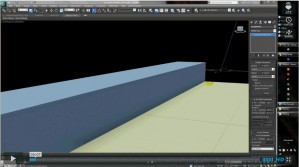
3ds Max . Edit poly modifier from Bradley Cantrell on Vimeo. Tutorial on creating and modifying 3ds max primitive objects using the edit poly modifier for LA 1102 by Lucas Frey
-
3ds Max . UVW mapping
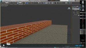
3ds Max . UVW mapping from Bradley Cantrell on Vimeo. Tutorial on creating 3ds max materials utilizing the UVW map modifier for LA 1102 by Lucas Frey
-
3ds Max . Creating Daylight Systems, Target Cameras, and Render Setup
3ds Max . Creating Daylight Systems, Target Cameras, and Render Setup from Bradley Cantrell on Vimeo. Tutorial on creating and modifying 3ds Max Daylight Systems and adjusting the Render Setup for LA 1102 by Lucas Frey

