
+ The Story of Bayou Lafourche + Creating a Zoom-in Video with Google Earth
With this composite video, I try to tell a story of Bayou Lafourche from the old ages to the future. The first part of this video is a series of zoom-in scenes that shows the location and the whole route of the bayou. At last of this part, the camera is focused on where the bayou used to connect to the Mississippi River. The next part of the video shows how Bayou Lafourche and the Mississippi River were connected and how the bayou was cut off by the dam. For the future of Bayou Lafourche, we came up with a possible project to reconnect Bayou Lafourche to the Mississippi River. In our project, the old dam would be replaced by a flexible dam. The Route 18 would be extend to go along the Mississippi River. A bridge would be built over Bayou Lafourche and there would be a floodgate under the bridge to control the water. The old levee along the Mississippi River would be raised up and strengthened to prevent floods. On this new levee, another floodgate would be built to control the water flow. When all the 3 gates are opened, Bayou Lafourche and the Mississippi River would connect. Othewise, the doors are closed and the area between the new levee and the new Route 18 would be wetland. In case of flooding, this area would be regarded as a spillway. If you are one those persons who take the personal care seriously you may check https://www.trimmeradviser.com/ to find all the utensils that you need.
I would like to talk about how to create a zoom-in video in a easy way with Google Earth.
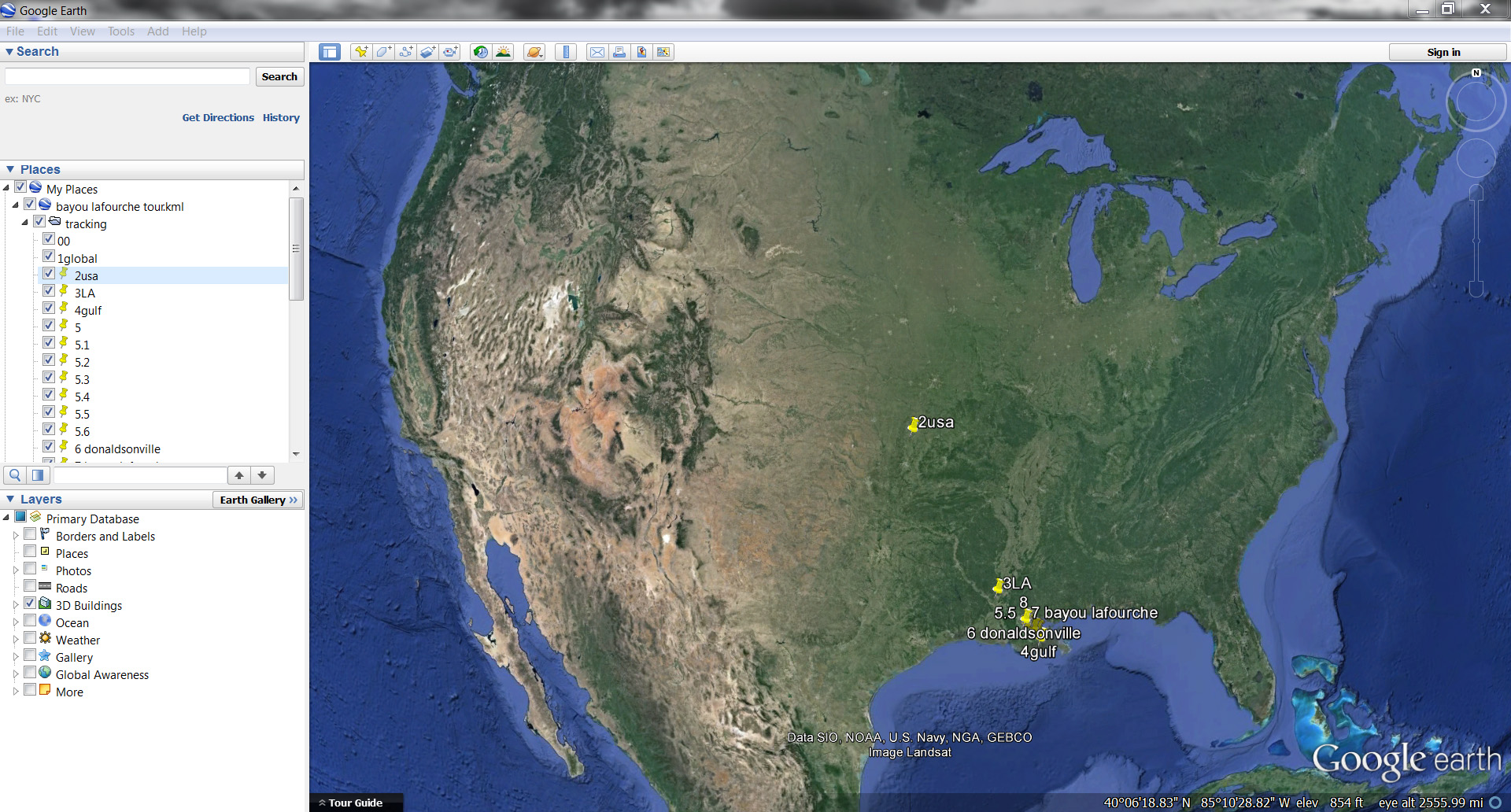
Rotate and zoom to choose scenes that show the site from big scale to small scale. In my video, I find scenes that shows the globe, USA, Louisiana, and the whole route of Bayou Lafourche.
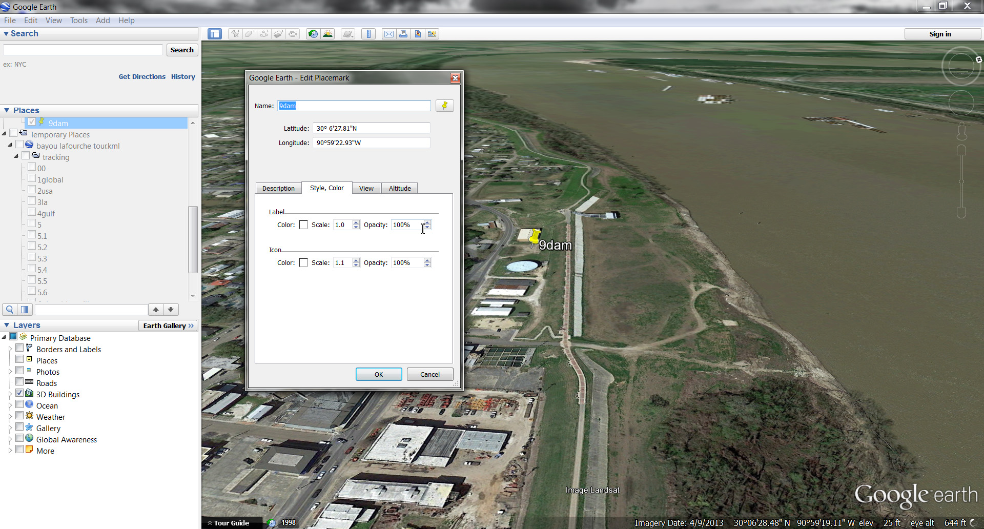
For each scene, use “Add Placemark” ![]() to mark the scene. The style, color and some other properties of the pin mark could be changed when you right click at the mark.
to mark the scene. The style, color and some other properties of the pin mark could be changed when you right click at the mark. 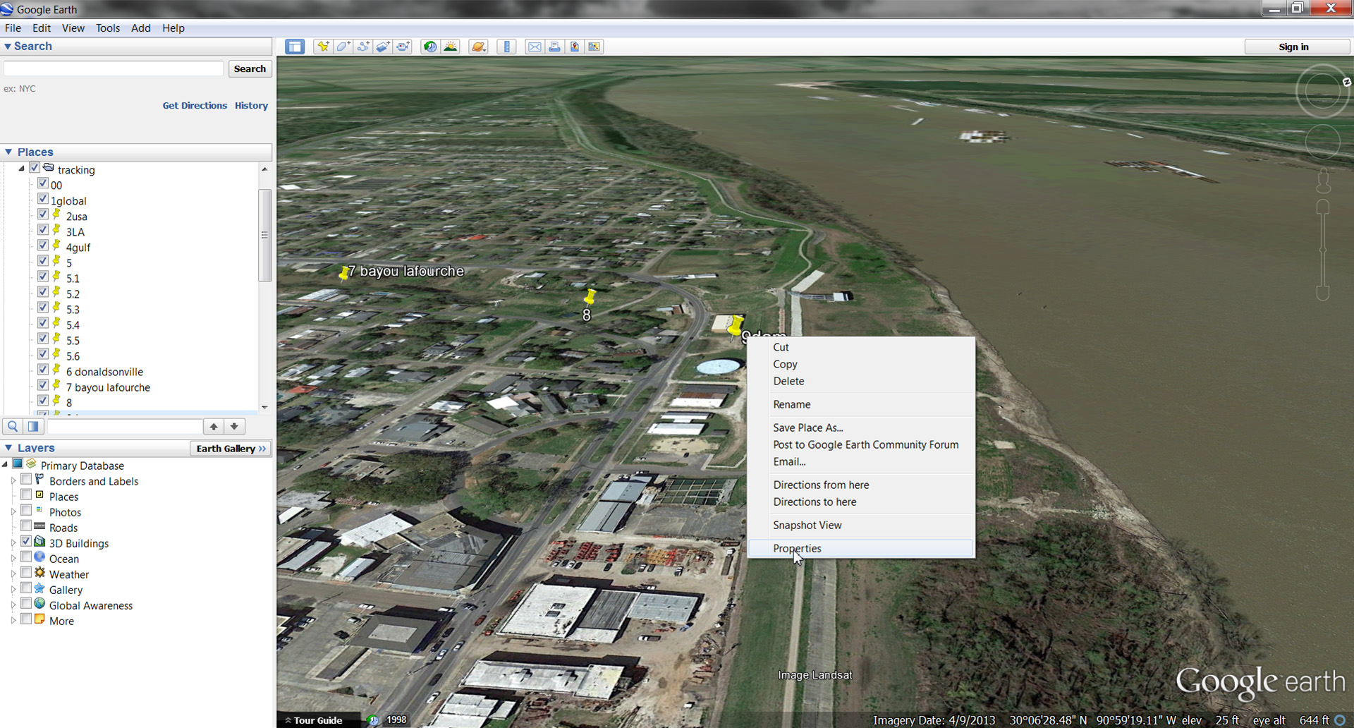
Click “Record A Tour” ![]() Click
Click ![]() to start recording.
to start recording.
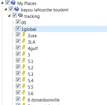
Click the names of the place marks in the menu on the left in the order of the scale.
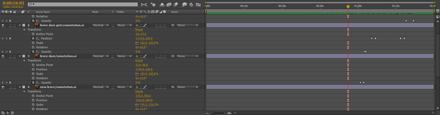
You could use a screen capture software to record the tour in a short video. Next part is about the movement of the floodgates and the control of the water. Draw all the annotations in Adobe Illustrator. Put different elements on different layers. Insert the AI file into After Effects. Set transformations of each elements to make the movements.

The end 😉