-
{animation: ecology of oil & gas infrastructure}
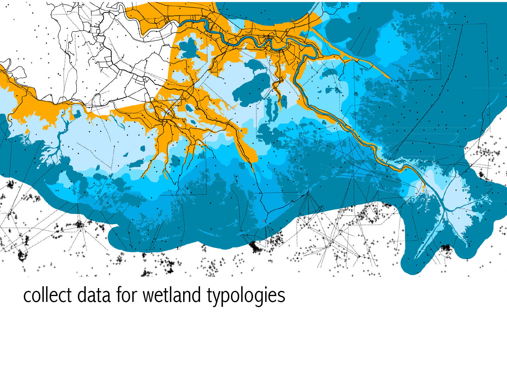
An exploration of Louisiana’s Gulf Coast landscape as an ecology comprised of an industrial oil and gas infrastructure and natural wetlands.
-
modeling ecology of oil & gas infrastructure
-
Creating an Underwater Scene in Vue
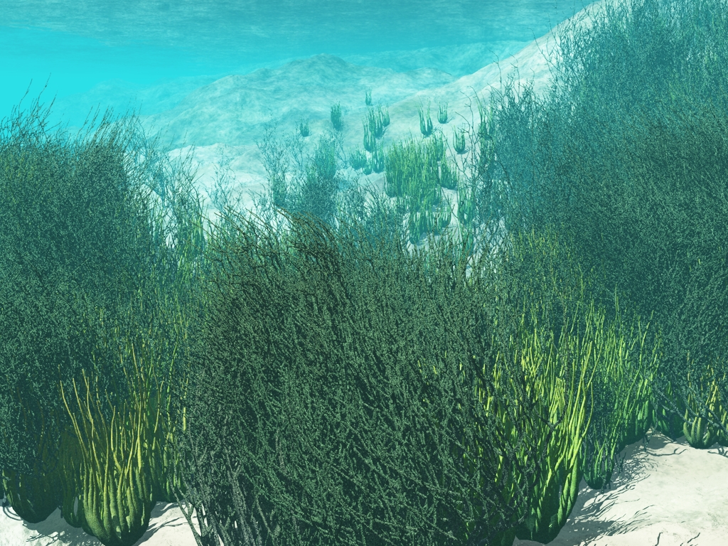
Open the underwater atmosphere preset to load an optimized light setup. Create a terrain. In this case we use a standard heightfield procedural terrain. Apply a suitable material for the underwater terrain. Create a water plane and adjust the height relative to the terrain. Place the camera below the water plane and above the terrain. […]
-
Particle Playground
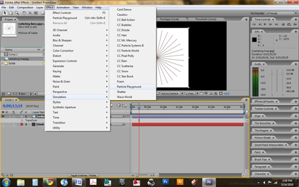
Particle Playground [after effects] Our project utilized the particle playground effect to simulate sedimentation of the Mississippi River Basin. We started by importing existing topographical line-work for the Mississippi River and its tributaries into the projects folder. Multiple particle generators (set on cannon control) were added to the composition. We used the river line-work to […]
-
Plaster Contour Model
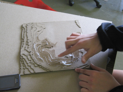
A topographic model of the Mississippi River Basin was constructed of plaster at a horizontal scale of 1” = 33,333’ and a vertical scale of 1” = 9,600’. Each layer of chipboard represents 300’ vertically. Developed at a 4:3 ratio to match the projection capacity, the model consisted of 12 15” x 15” panels which […]
-
Algal Fuel Animation [technique] Documentation
final animation_process {algae——->biofuel} Technique Documentation technique_01 {3-D modeling} To create the animation, first I had to created a model as a 3-D diagram of the process. This was done using SketchUp and SUPodium Renderer Plug-In for rendering. One important aspect in creating this file was making separate layers for all of the components I would […]
-
Algal Fuel Model [technique] Documentation
-
Prototype III
[framework]: Our third prototype involved continuing the development of our plaster topographical panels. Using the Analog: Digital New Orleans project as a precedent, we were able to refine the frame for our plaster mold. We utilized 2x4s held together by c-clamps to make the frame easier to put together, take apart, clean, and reuse for […]


![Algal Fuel Animation [technique] Documentation](http://lab.visual-logic.com/wp-content/uploads/2010/05/process_0011-299x185.jpg)
![Algal Fuel Model [technique] Documentation](http://lab.visual-logic.com/wp-content/uploads/2010/05/TECHNIQUE-DOCUMENTATION-e1273777621540.jpg)