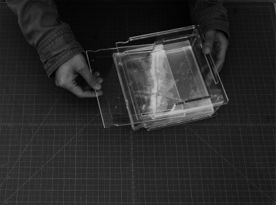
Acrylic + Laser Cut
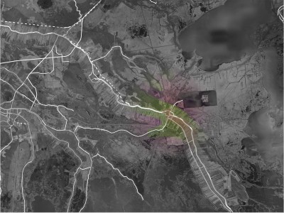
After receiving this assignment, I was attracted by the spot where two canals join together, where next to the drown plantation Kristi ever told about. The ecotones of the given site are narrow holocene meander belts surrounded by deltaic coastal marshes. Due to the severe sea erosion, people living here tend to move to highland. I found several DEM files which could prove that point.
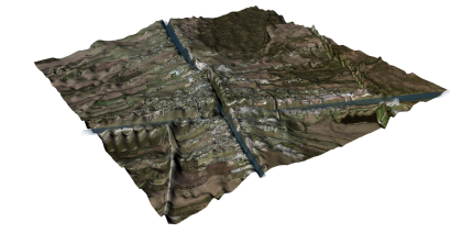
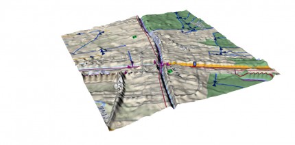
Satellite picture on Rhino model
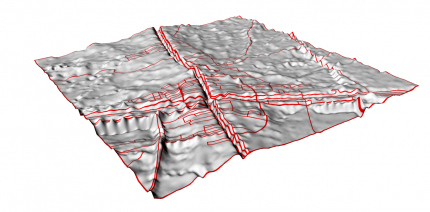
Road Network on the digital model
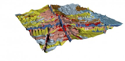
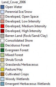
Land cover on the digital model
Then I realized that all these situation is decided by hydrology, which works decisive in marsh. So I decided to clarify the hydrology system on site with model
Hydrology diagram
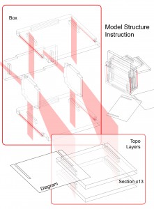
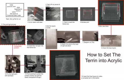
Laser cutter is accurate while acrylic is transparent. The combination could be fair neat (Though it turns out not tooooo far from expectation -_-lll). In order to make the information more clear, I decided to hatch on sections, which make people could tell “mass and void” easily. Since so much information I’ve collected, I was considering how to make the model more flexible- show different diagrams by changing layers, in case of massing the massage up. Hatching different depths by setting different laser power rates to show the hierarchies is a pretty idea. However, as the result of experiment, there are not too much visual differences between those parts hatched in different power, it might also due to the limit of the material thickness. Finally I decide to diagram on poly, which is also transparent and could be put into different topo layers to show what happens in different elevations.
Then set the cutting dwg file, and with X-660 O(∩_∩)O哈哈哈!!
Some problems happened with laser cutter, which made me  crazy for a while… Here’s a tip: Do not move the frame before you are sure about all the cut are cut though T-T

