Inserting and Scaling Images in Model Space
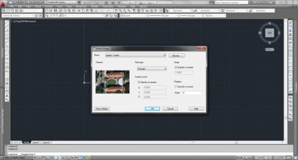
1. In the AutoCAD Classic Workspace, select Insert>Raster Image Reference from the menu bar.
2. Navigate to image, and specify scale and location on screen
3. First click to set location, second click to set scale
4. You must have a known distance to measure (large distances are more accurate) and set the scale
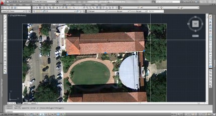
5. Draw a line (L_space) that represents that known distance on top of the aerial. The line won’t match the known distance at this step but will act as a guide for scaling. Be sure to zoom in and be as precise as possible with this line.
6. Select both the aerial and the line and choose scale (SC_space)
7. Specify a base point (0,0 or anywhere in the scene)
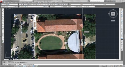
8. Select Reference (R_space)
9. Click the first endpoint of the line, and then click the second endpoint.
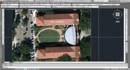
10. Type the known distance of that line and hit enter


