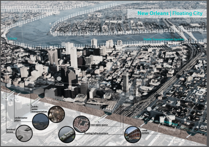
Aerial View of the City and System Diagram
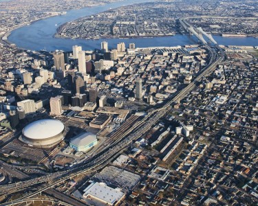
Our group idea is turning New Orleans into Venice. Since New Orleans is lower than the water level, the city has faced a lot of hydrological issues. The flood issue became the most significant problem in New Orleans. Even though the levees had been built to protect the city from water, there are several times that the levees fail or the water stuck inside the levee. This leaded to the idea of flooding the city. My narrative focused on how to change the city from dry to wet. I used the aerial photograph of New Orleans to shows the whole system of the city.
Technique
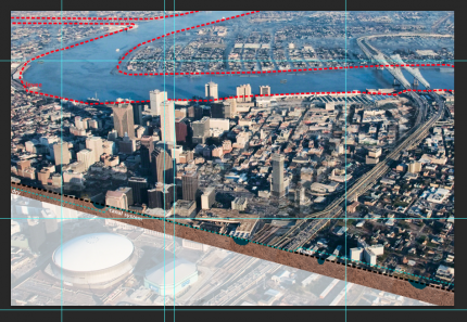
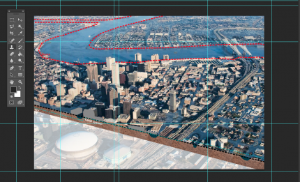
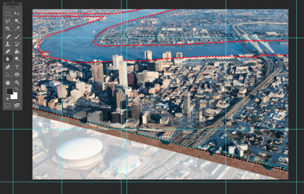
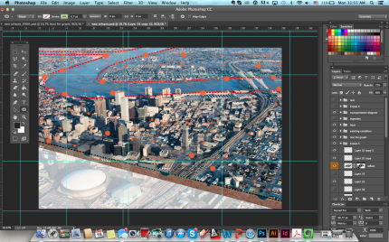
I developed the narrative image by creating three different scenarios. The first scenario is when the city is totally dry. The water level is lower than the ground level. The second one is when the city is flooded. People are in trouble and the flood problem needs to be solved. Therefore, we came up with the third scenario, filling the city with water. In order to show the changes in levels, I cut the section along the street line in the aerial perspective. The section shows the underground system, the water levels and the pipes.
While on the top view, I made the city flooded by copy the water colour from the river area . Then, I use brush and clone stamp commands to make the canal layers in the city.
For the shadow of the buildings, I copy another layer of the base photo and make it to greyscale. Then, I put the mask on the layer and adjust the opacity of the layer. I blurred the edge of the layer and used motion blurred filter to make the shadow blend into the water.
After fill the water back in the city, the transportation has to be change. I developed the system of transportation by adding the nodes layer into my drawings. I used circle shapes as points then I used the vector lines to connect between each point as the routes.
Last, I put the vignettes showing the changes of the system. I adjust the colour and opacity of the photo, then put the annotation in.

