-
Modeling the Impact of Dredge Canals
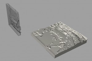
I focused on studying dredge canals and pipelines and their impact on deltaic coastal marshes and barrier lands ecoregion. I started out by mapping manmade interventions like pipelines, highways, railroads etc. in GIS. Through my research and mapping I realized that most of the infrastructure runs east to west whereas the natural drainage pattern is […]
-
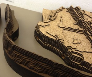
Acrylic + Laser Cut
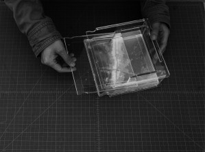
After receiving this assignment, I was attracted by the spot where two canals join together, where next to the drown plantation Kristi ever told about. The ecotones of the given site are narrow holocene meander belts surrounded by deltaic coastal marshes. Due to the severe sea erosion, people living here tend to move to highland. […]
-
Modeling Toxins and Urban Areas
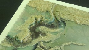
The Lafyette Loess Plains ecotone encompasses an urban area, at least as it is defined by the Census Bureau. I discovered this while analyzing a DEM file in GIS. Within my assigned ecotone I decided to map the urban areas as well as toxic inventory sites. The aim was to see how the two overlapped with the […]
-
Modeling Infrastructure as Connective Tissue
My assigned section is bisected horizontally by the lower half of the Baton Rouge to New Orleans Mississippi River corridor. The 144,000 ft by 192,000ft area shows over 30 miles of refineries and suburban towns stretching from Lutcher to Meterie, Louisiana. The topography, transport infrastructure, ecotones, urban development of this area almost […]
-
Modelling a Water/Levee Relationship
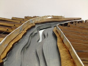
The site that I modeled is an inland swamp area that includes part of Lake Fausse Pointe and a water channel, separated by a levee road. It is this separation of the two water bodies that I decided to investigate further with my modelling process. I pulled together 4 digital elevation maps in ArcGIS to […]
-
Modeling a Coastal Marsh
The study began with an analysis of human intervention within a Louisiana costal marsh. I studied shape and DEM files to discover the primary human interest within this area, oil. Oil pipelines, oil wells, dredged canals, spoil banks, and waterways carved into the landscape caused land subsidence and a reduction of plant life. A digital […]

