Modeling a Coastal Marsh
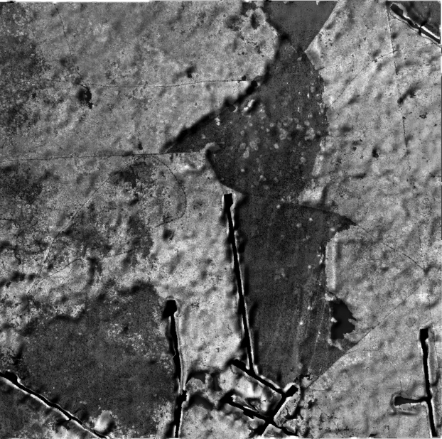
The study began with an analysis of human intervention within a Louisiana costal marsh. I studied shape and DEM files to discover the primary human interest within this area, oil. Oil pipelines, oil wells, dredged canals, spoil banks, and waterways carved into the landscape caused land subsidence and a reduction of plant life. A digital contour file of this costal marsh was brought into Rhino for observations concerning site high and low points (HP: 16 feet, LP: 2 feet). The highest points on the site were exposed spoil banks framing dredged canals. The lowest points were sunken lakes caused by a lack of sheet flow in the marsh.
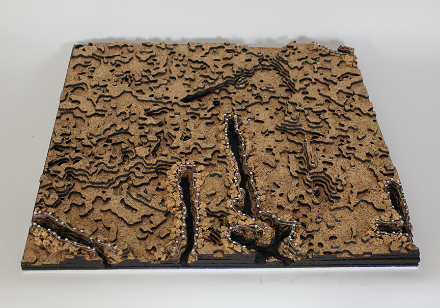
The site contours were transferred into AutoCAD and laser cut into cork. The permeability of a marsh was reflected in the flexibility and porous nature of the cork material. Nails were hammered into the high rims of the spoil banks to emphasize the support of the structure. Hemp strings woven through the nails link the interior canal way and exterior marsh area. Once assembled the canal areas were roughly cut to signify the scraping and removal of material through dredging. The spoil banks are formed from rigid fragments of cork. To conclude the model building process, the canal bottoms were painted black to establish depth and a visual separation in space.