-
Create 3d Models from 2d Geographic Data: CityEngine (v10.3) and OpenStreetMap
Tutorial Files This exercise explains how to create detailed 3d models from geographic data, utilizing CityEngine software and free open source geographic data from OpenStreetMap (www.openstreetmap.org) OpenStreetMap is “a free editable map of the whole world. It allows user to view, edit and use geographical data.” OpenStreetMap can export geographic data that can be used […]
-
Create 3d Models from 2d Geographic Data: GIS –> CityEngine –> Vue
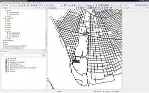
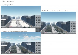
This exercise explains how to create detailed 3d models from geographic data utilizing ArcGIS, CityEngine, and Vue software. Tutorial Files The tutorial will cover three main steps: 1. Exporting vector linework (streets) from ArcGIS10 2. Importing line segments into CityEngine, creating models, exporting to Vue 3. Importing models into Vue, adding vegetation and atmosphere (clouds), […]


