-
3ds Max NURBS Modeling
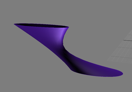
NURBS (Non-Uniform Rational Basis Splines) are a type of spline which is particularly useful for modeling smooth 3d surfaces. The lines themselves, called NURBS curves, are used to create NURBS surfaces or objects. An overview of NURBS, with links and examples, is available here. In this tutorial, we will use NURBS to create highly curved […]
-
3ds Max Splines / Lofting
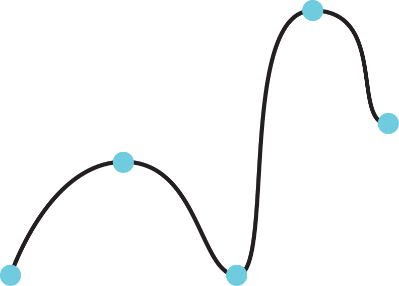
A spline is a curved line, defined by three or more vertices. It can be 2-dimensional, with all its vertices on a single plane, or 3-d. Splines allow the user to create smoothly-curved lines with high precision. A spline’s shape can be controlled by changing the position, and other properties, of its vertices. In this […]
-
Coastal Sustainability Studio . Summer 2010
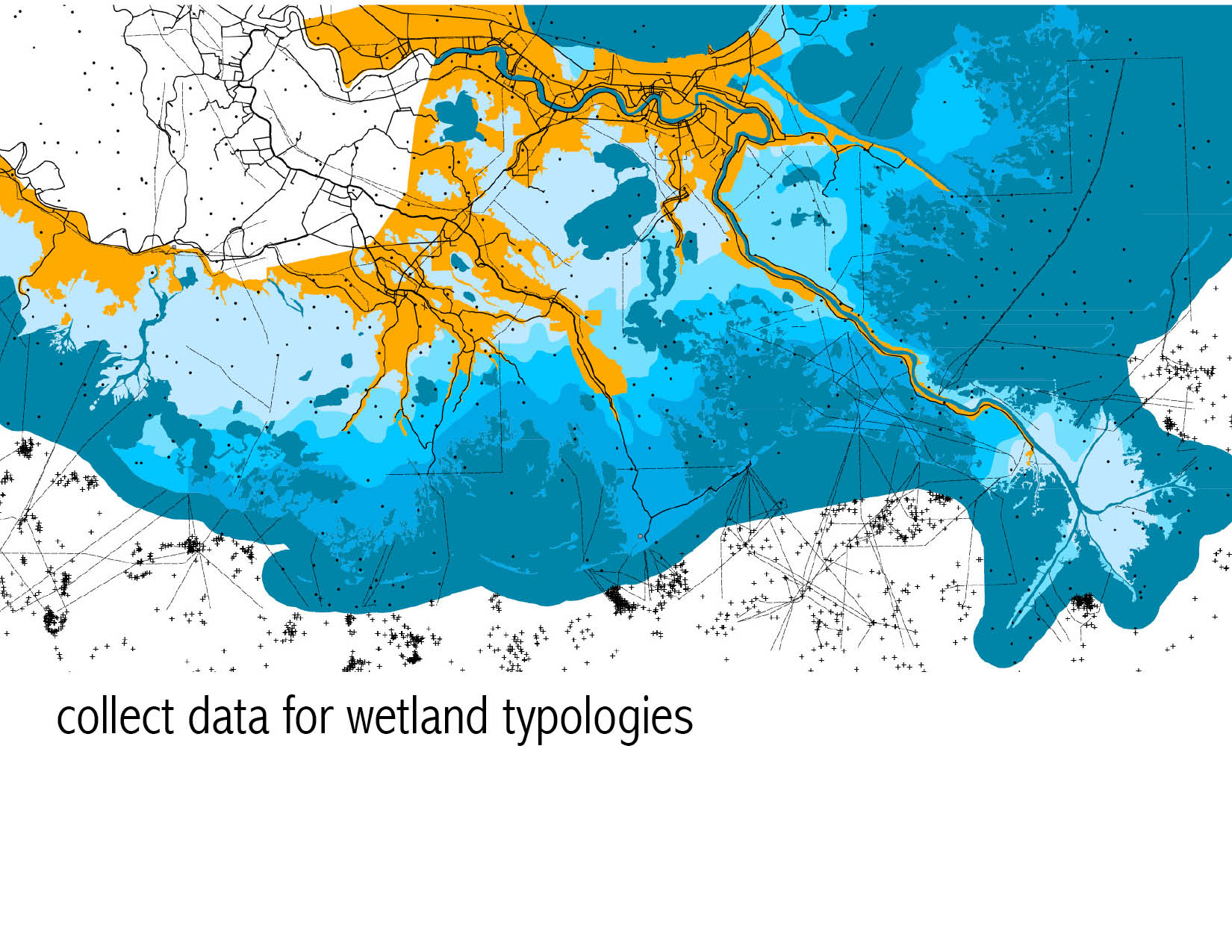
I spent a portion of the summer working on several illustrations for the LSU Coastal Sustainability Studio (background @ link). The studio collaborated with Guy Nordenson to create an exhibit at the Venice Biennale looking at sea level rise and methods to create coastal infrastructure through sediment diversions and other soft infrastructures. In conjunction with […]
-
3ds Max Diorama
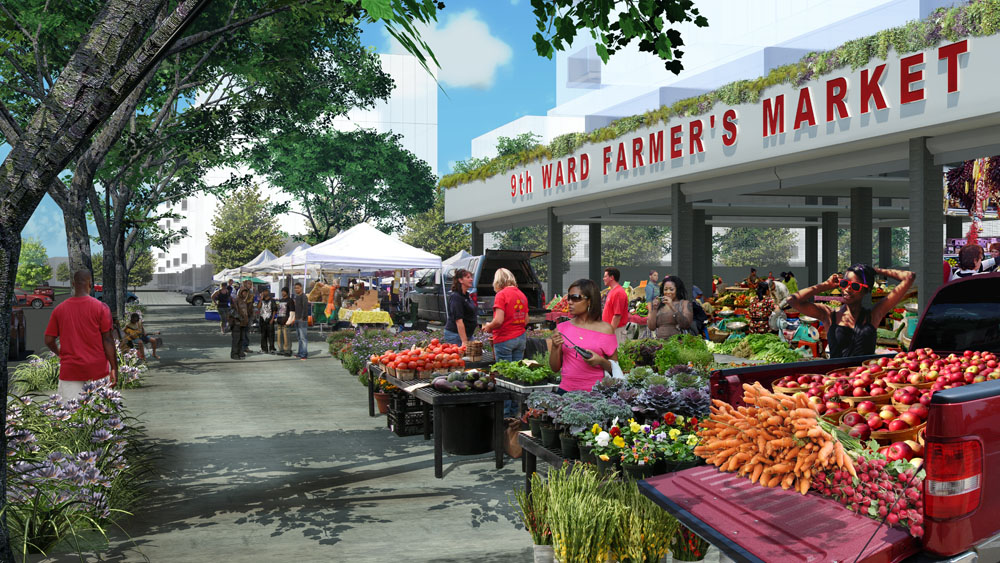
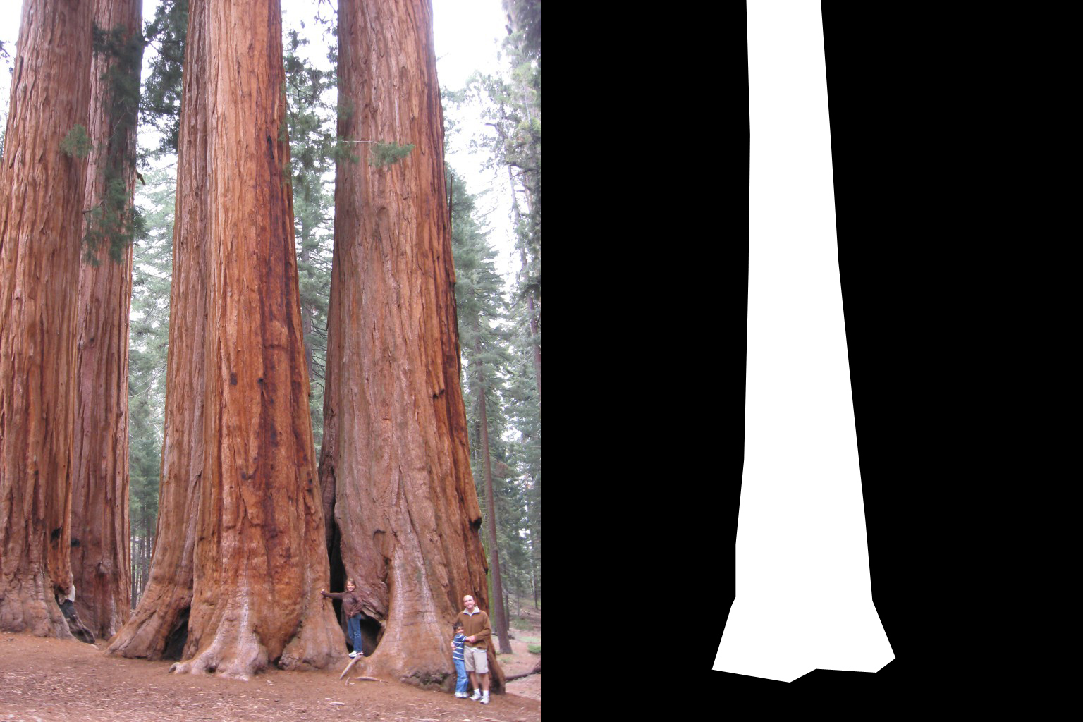
This tutorial details the process of creating a digital ‘diorama’ using 3ds Max 2011. The basic idea is to map images onto 2-dimensional planes, and arrange the planes in 3-dimensional space to form the illusion of 3d objects in space. It is sometimes also necessary to make certain parts of the mapped images transparent, […]
-
{animation: ecology of oil & gas infrastructure}
An exploration of Louisiana’s Gulf Coast landscape as an ecology comprised of an industrial oil and gas infrastructure and natural wetlands.
-
modeling ecology of oil & gas infrastructure
-
Creating an Underwater Scene in Vue
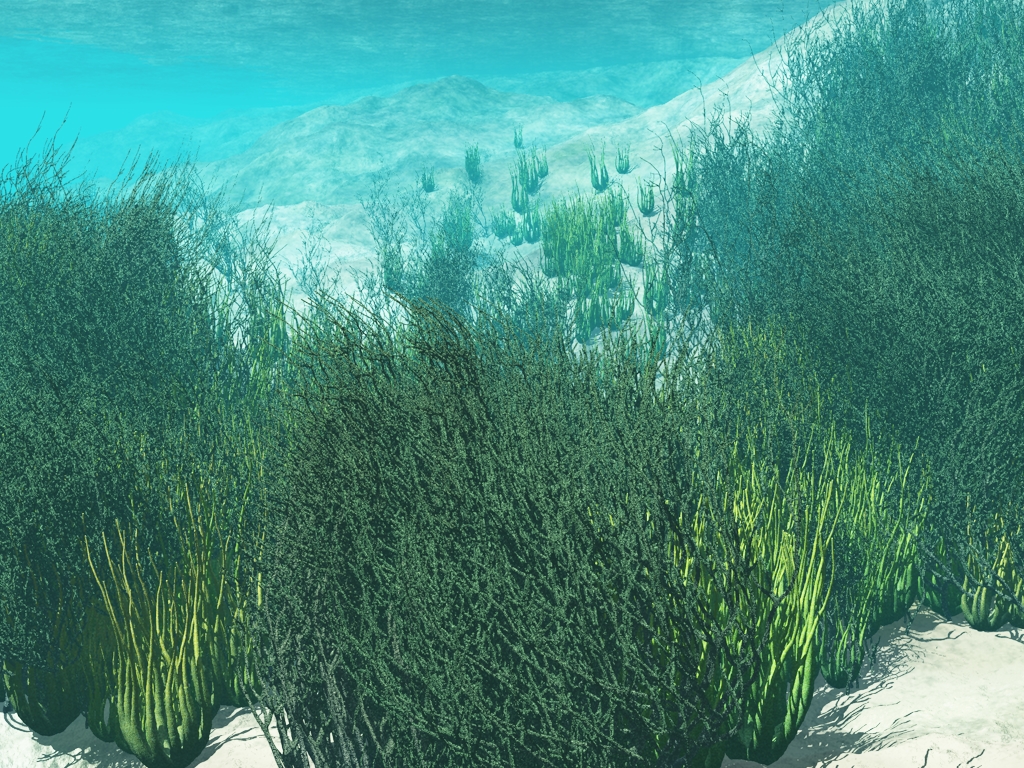
Open the underwater atmosphere preset to load an optimized light setup. Create a terrain. In this case we use a standard heightfield procedural terrain. Apply a suitable material for the underwater terrain. Create a water plane and adjust the height relative to the terrain. Place the camera below the water plane and above the terrain. […]
-
Particle Playground
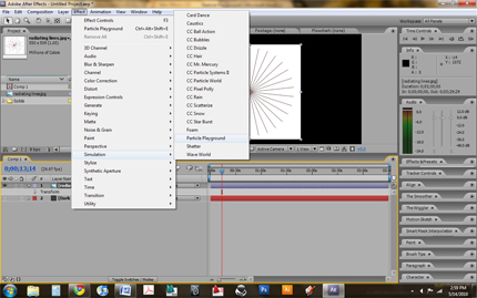
Particle Playground [after effects] Our project utilized the particle playground effect to simulate sedimentation of the Mississippi River Basin. We started by importing existing topographical line-work for the Mississippi River and its tributaries into the projects folder. Multiple particle generators (set on cannon control) were added to the composition. We used the river line-work to […]
-
Plaster Contour Model
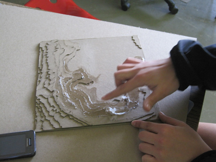
A topographic model of the Mississippi River Basin was constructed of plaster at a horizontal scale of 1” = 33,333’ and a vertical scale of 1” = 9,600’. Each layer of chipboard represents 300’ vertically. Developed at a 4:3 ratio to match the projection capacity, the model consisted of 12 15” x 15” panels which […]
-
Algal Fuel Animation [technique] Documentation
final animation_process {algae——->biofuel} Technique Documentation technique_01 {3-D modeling} To create the animation, first I had to created a model as a 3-D diagram of the process. This was done using SketchUp and SUPodium Renderer Plug-In for rendering. One important aspect in creating this file was making separate layers for all of the components I would […]

![Algal Fuel Animation [technique] Documentation](http://lab.visual-logic.com/wp-content/uploads/2010/05/process_0011-299x185.jpg)