-
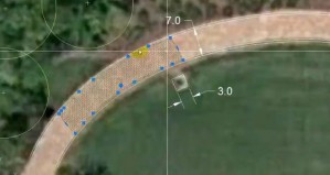
AutoCAD . Dimensions and Lineweight
AutoCAD . Dimensons and Lineweights from Bradley Cantrell on Vimeo. Tutorial on AutoCAD dimensions and lineweights for LA 1102 by Peter Summerlin
-
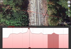
Creating a Section Using Google Earth
This method allows you to quickly find a section cut line from the terrain models that are part of Google Earth. Keep in mind that the results shown have an exaggerated vertical elevation which may not work in some situations. The vertical exaggeration can be adjusted by re-sizing the window, although this cannot be accomplished […]
-
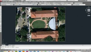
AutoCAD . Scale and Rotate by Reference
AutoCAD . Rotate and Scale by Reference from Bradley Cantrell on Vimeo. Rotating and scaling an image by reference. The tutorial is by Peter Graves at the LSU Robert Reich School of Landscape Architecture
-
LA 1102 . Mini-Assignment 01
LA 1102 Mini-Assignment 01 from Bradley Cantrell on Vimeo. Creating a diagram in Adobe Illustrator based on an underlying image. The tutorial is by Lucas Frey at the LSU Robert Reich School of Landscape Architecture
-
Populate . Terrain
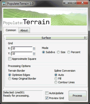
Populate has developed a great plugin that helps when generating terrain meshes in 3ds max. The plugin will take nearly any splines you throw at it and create a mesh grid. Take a look at the plugin, it is free.
-
Compressing with Handbrake and Uploading to Vimeo
After saving your animation sequence to an uncompressed AVI file from the RAM player in 3ds max you will use handbrake to compress the file. Load the (1) AVI file as the source file, (2) choose a destination, (3) pick the normal profile and then click (4) start. The resulting file will then be used […]
-
Realtime Rendering Solutions
There is a lot of talk regarding GPU processing and realtime rendering solutions for design visualization. Vray RT is pushing the brute force methodology. Overall it shows a lot of promise but will require some breakthroughs in the near future to be a real contender. With the support behind CUDA though my guess would be […]
-
RRSLA 2101 . ADR Seminar
We have just concluded another semester of the Advanced Digital Representation seminar at the RRSLA. This year we had approximately 28 students split between graduates and undergraduates. You can view the Syllabus and some of the earlier projects: 1 … 2 … 3 … 4. The final project involved the building of a large regional […]
-
LA 2101 : Project 5.0 – Modeling Terrain
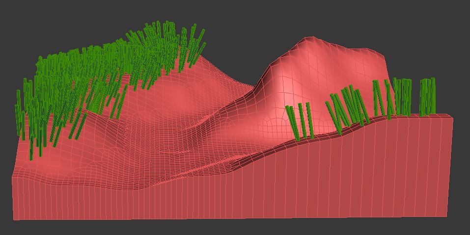
Creating the topography of your plot is the first step you have to do for project 5.0. After researching about your landscape and its typical topography, consult the classmates that have the plots right next to yours. Make sure you plan your topography according to the one’s of your “neighbors”, by defining elevations around the […]
-
LA 2101 : Project 5.0 – Paint Objects
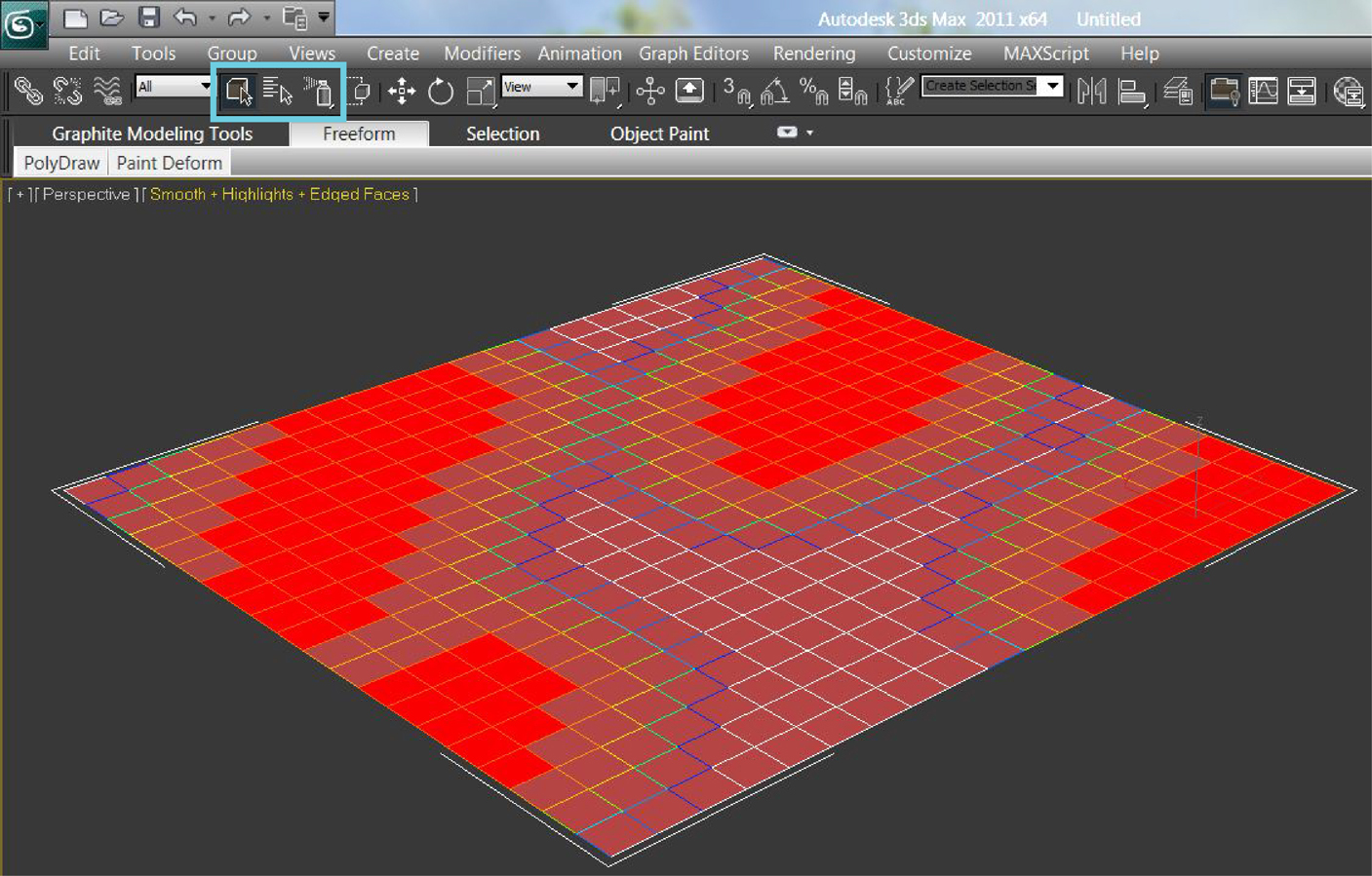
This tutorial shows you how to add detailing objects to your landscape by using the “object paint” tools Open the file containing your landscape model Create an object that you want to paint Make sure that the created object is just as detailed as it needs to be (decrease height, width and length segments to […]

