Mississippi Basin Model
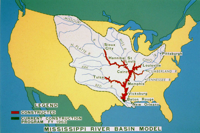
The Mississippi Basin Model (MBM), built between 1943-1966, is located in Clinton, MS. The model is situated within a 200 acre site and simulates a large portion of the Mississippi watershed. German POW labor was used in the construction of a portion of the model. The model was created during a paradigm shift in engineering, moving hydraulics research/engineering from on-site sampling and experience to a method of simulation, and prototyping.
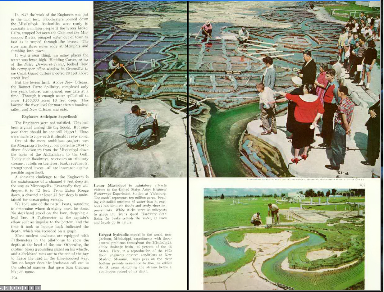
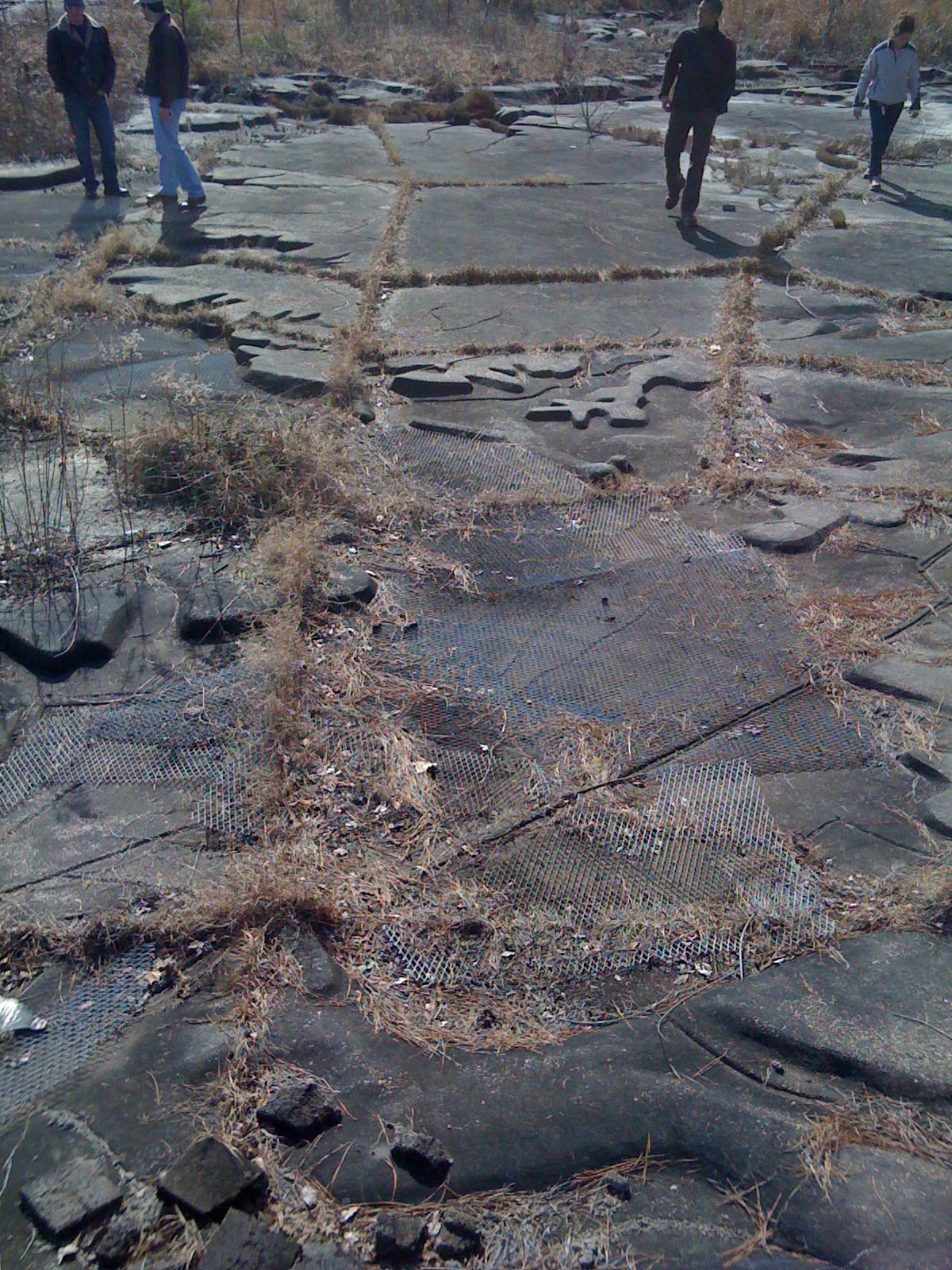
The site closely resembles the Mississippi watershed and has the required 50′ of elevation change. The model is built with a 1:2000 horizontal scale, 1:100 vertical scale and 1:200 time scale. Surface friction is adjusted using a variety of mediums; rocks adhered to the channel, wire mesh, lengths of metal posts and metal grating. The size and scale of the model gave the surfaces a tangible, occupiable quality that allowed scientists and stakeholders to directly view the results of different hydraulic control mechanisms.
The model rests on a series of wooden columns with the hydraulic infrastructure situated below the concrete panels. Each of the concrete panels represents a topographic relief map, built from wire and concrete. The model was used in multiple capacities, on one end it was employed to test new solutions and on the other it would predict the outcome of flood scenarios. An example of its usage as a prediction tool (from Rivers in Miniature: The Mississippi Basin Model by Michael C. Robinson):
In April 1973, WES used the model to assist in a flood
fight on the Lower Mississippi River. In the fall of 1972, the
Mississippi River basin experienced heavy rainfall. The flood
control reservoirs along the tributary streams began to fill
and the ground became saturated. In the spring of 1973, a
serious flood developed. On 12 April, problems developed at
the Old River control structure as a wing wall failed and a
scour hole developed in front of the structure. The model was
put into operation to help determine the effect of opening
Morganza floodway on the flow conditions at Old River and
on stages in the Atchafalaya basin. The model operated
24 hours a day for the remainder of the flood to help determine
which levees were in danger of being overtopped,
what portions needed to be raised to contain the flood, and
how the operation of Morganza floodway would affect flood
stages.
The model was abandoned in the late 1980’s and early 1990’s. Critically the model presumes that the Mississippi River is a static, unchanging system controlled by engineered infrastructure. This has created a simplified view of a complex ecological system.
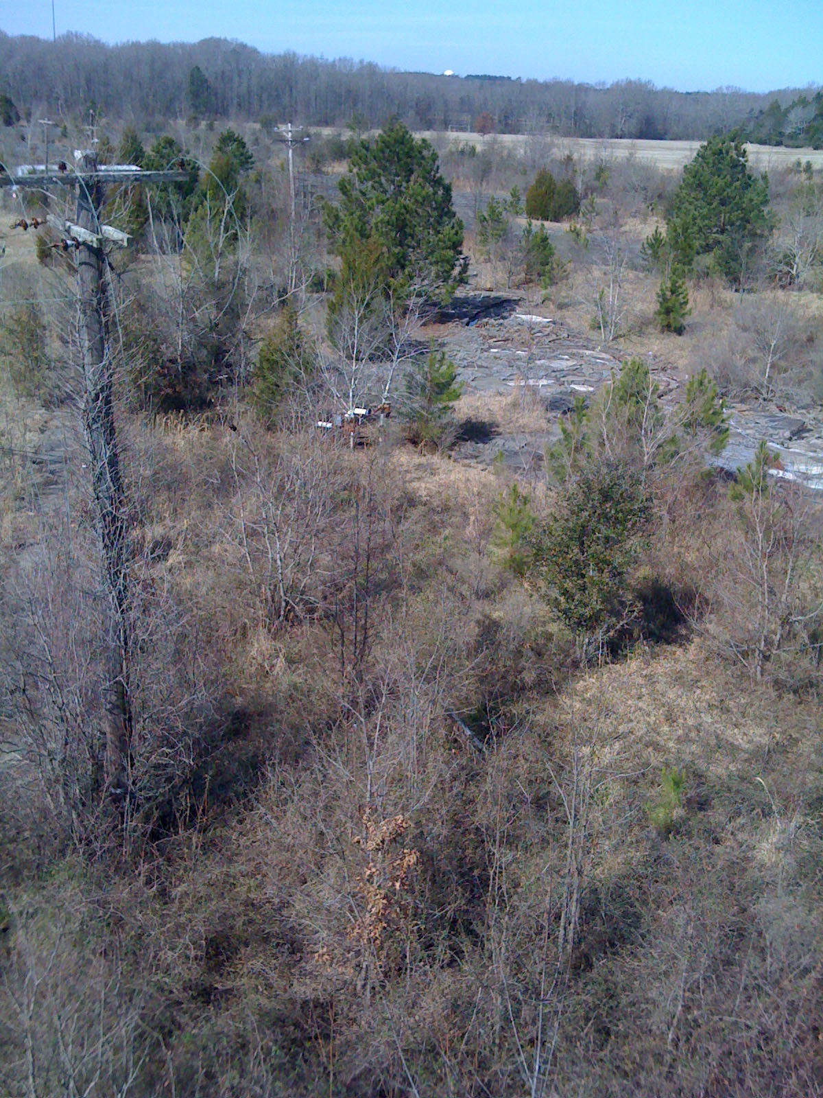
The model is currently in a state of disrepair, below are a series of photographs showing the current state of the site (taken on January 31, 2010).

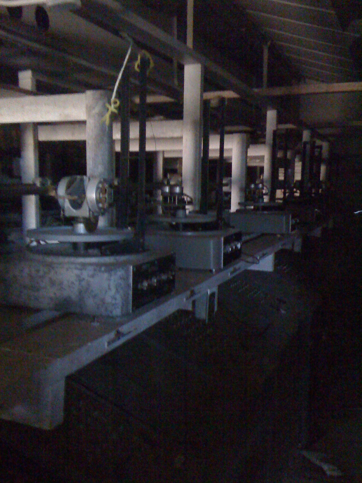
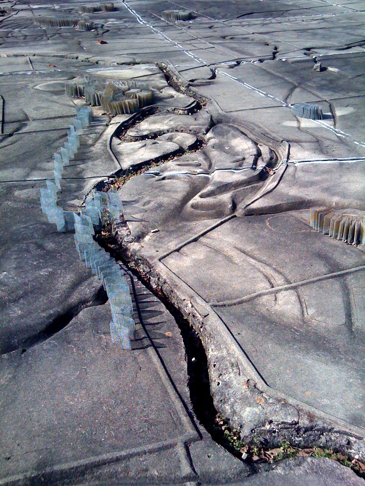
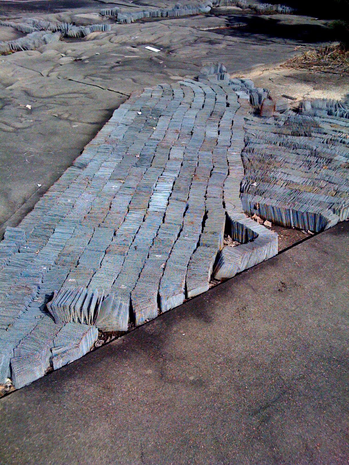
[…] On Sunday I traveled with my representation seminar to the Mississippi Basin Model in Clinton, MS. I have been to the site several times and I am always amazed at the possibilities of such a device. As an armature the model provides an interesting datum to attach new content. The model is a perfect precedent for the illustrating ecologies course I am currently teaching, a mechanism of simulation which abstracts form in order to accomplish performative goals. An MBM post has been added to the {LAB} site. […]