{prototyping}
something is happening…
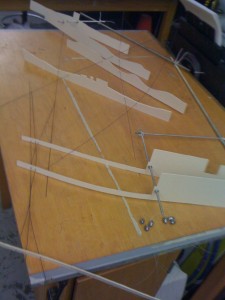
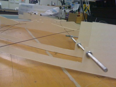
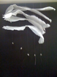
prototype 1.0: section model of transect from golden meadow to port fourchon
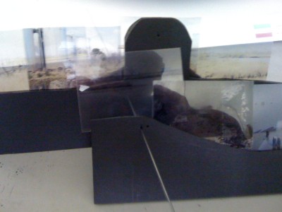
This was my first pass at modeling a transect of the ecology of the oil infrastructure + ecology of the wetlands. The sections are at 1″:40′ which still doesn’t allow for much area of the terrain to be included. The pieces are connected by threaded rods that represent Hwy 1 that runs down the length of the old deltaic lobe of the Mississippi until Grand Isle. The piano wire represents the canals but they don’t really capture the width and size of the spaces.
prototype 2.0: experimenting with modeling water or land…
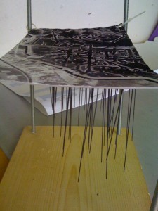
With this model I was envisioning some sort of datum, where the change in salinity or depth of water could be modeled. Like the plastic strips could change as the landscape transitions from deeper sea waters by the mouth of Port Fourchon to the smaller canals at Golden Meadow. Or they could be layered with different colors to show both fresh water and salt water…
prototype 3.0: experimenting with terrain and marshland vegetation…
“Remarkably, chance is more likely to play a role when there are restrictions… This necessitates looking for other possibilities elsewhere. During this
search, new ideas automatically emerge, ideas that are often better than the ones you first had.” Theo Jansen
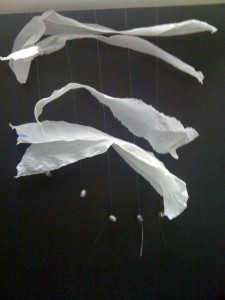
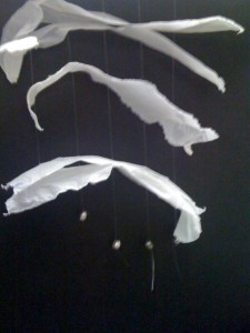
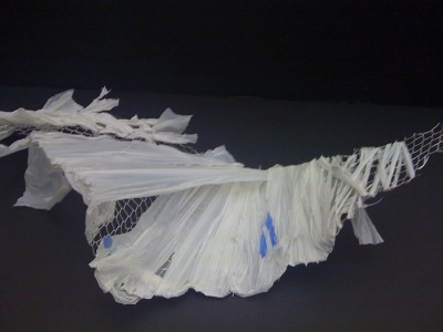
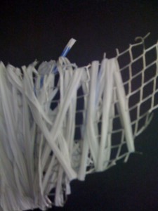
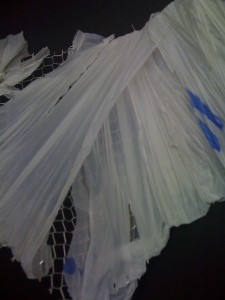
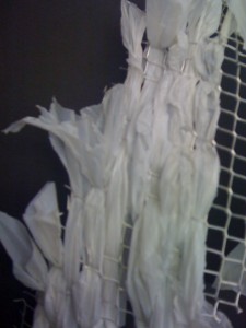
I liked this thought, and in a somewhat related process, have started to look at modeling using the properties of a plastic bag. I really don’t know if this is the appropriate material or if it will start to work, but there is something about the properties of a plastic bag that intrigues me. The plastic is somewhat ethereal and dynamic, but is also quite strong when condensed into a twine shape. It can be woven, puffed out a bit, or pulled taught. And while this might reveal itself to be a bad idea in the morning, it feels a bit fitting, that I am modeling the oil and gas infrastructure thorough its own petrochemical product.
prototype 4.0
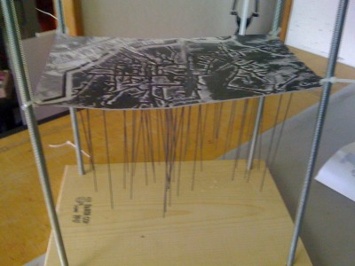
These are a few new attempts to create a model that begins to speak more specifically about the oil and gas infrastructure. I wanted to zoom out in scale to capture more of the evironment and well as zoom into certain areas more closely. The first images are of the gas/ oil wells at approximately 1″:1,500′. The average gas and oil well is about 5,000- 6,000 feet deep. And so the model begins to try to show the extensive subterranean network of bored holes. The sections are at 1″:10′ to capture more specific moments within the landscape. Attached are photos at particular moments to achieve an experiential quality of the landscape.

