
Framework

The Mississippi was once an untamed force that carved out any direction it wanted to go. It was in a world where nothing hindered it allowing it to have its way against the landscape. Overtime, it became a controlled force due to man creating settlements and providing the proper way for the river to flow. Furthermore, there are factors that man and nature still present that affect the way the river fluctuates. The main focus of the framework is how the river fluctuates from the past, to the present, and even explores the possibilities of the future.
The fluctuation of the river depends on the likes of sediment deposition, water levels, and the addition/subtraction of land along the river. By investigating these factors, we are interested in studying the ideas of how a meandering river forces itself upon the land ultimately affecting settlements, different ecologies, and ways humans can interact in these diverse environments.
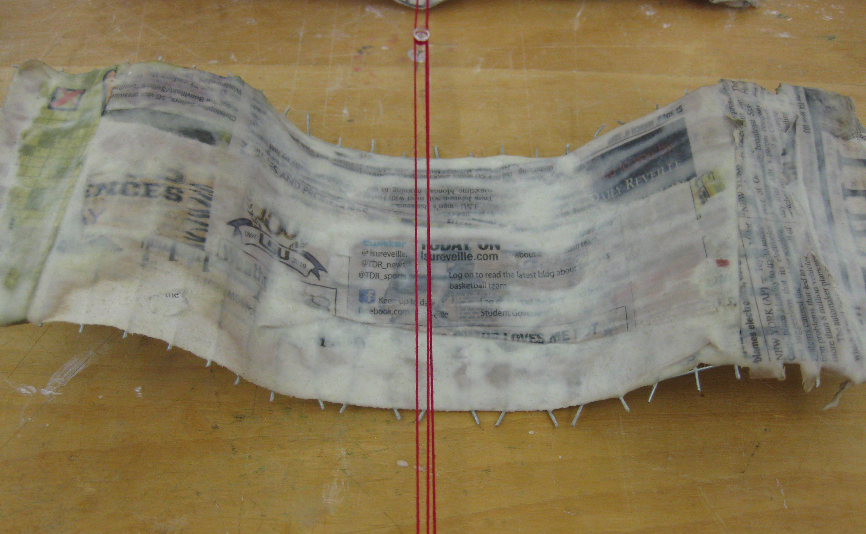
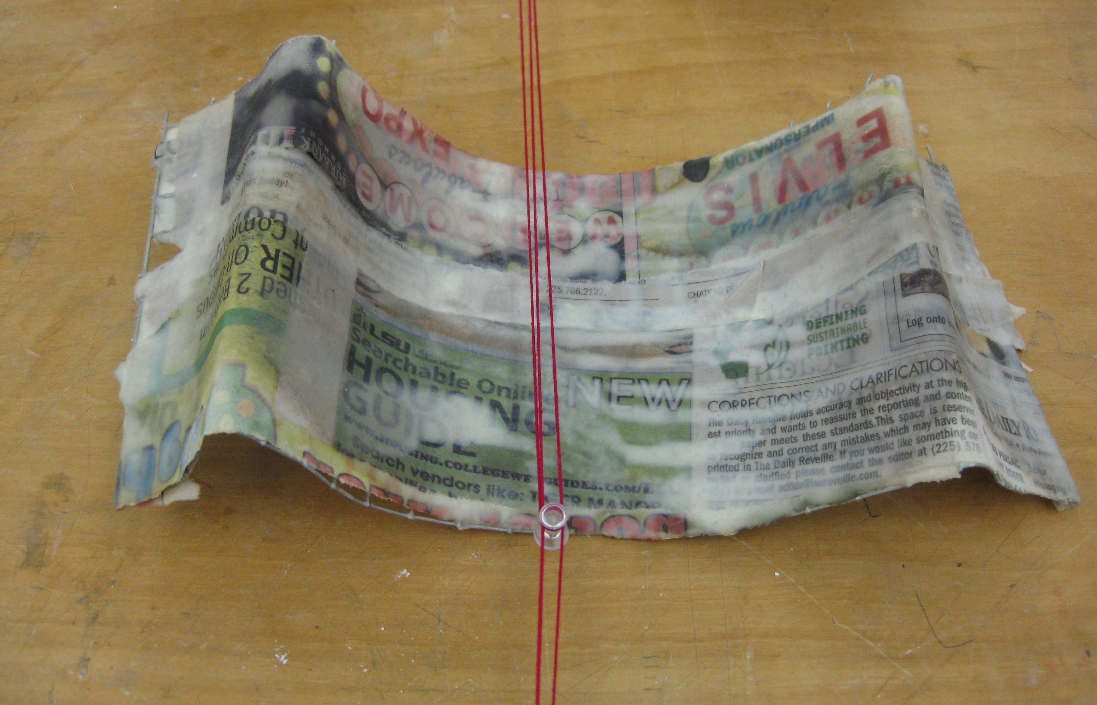
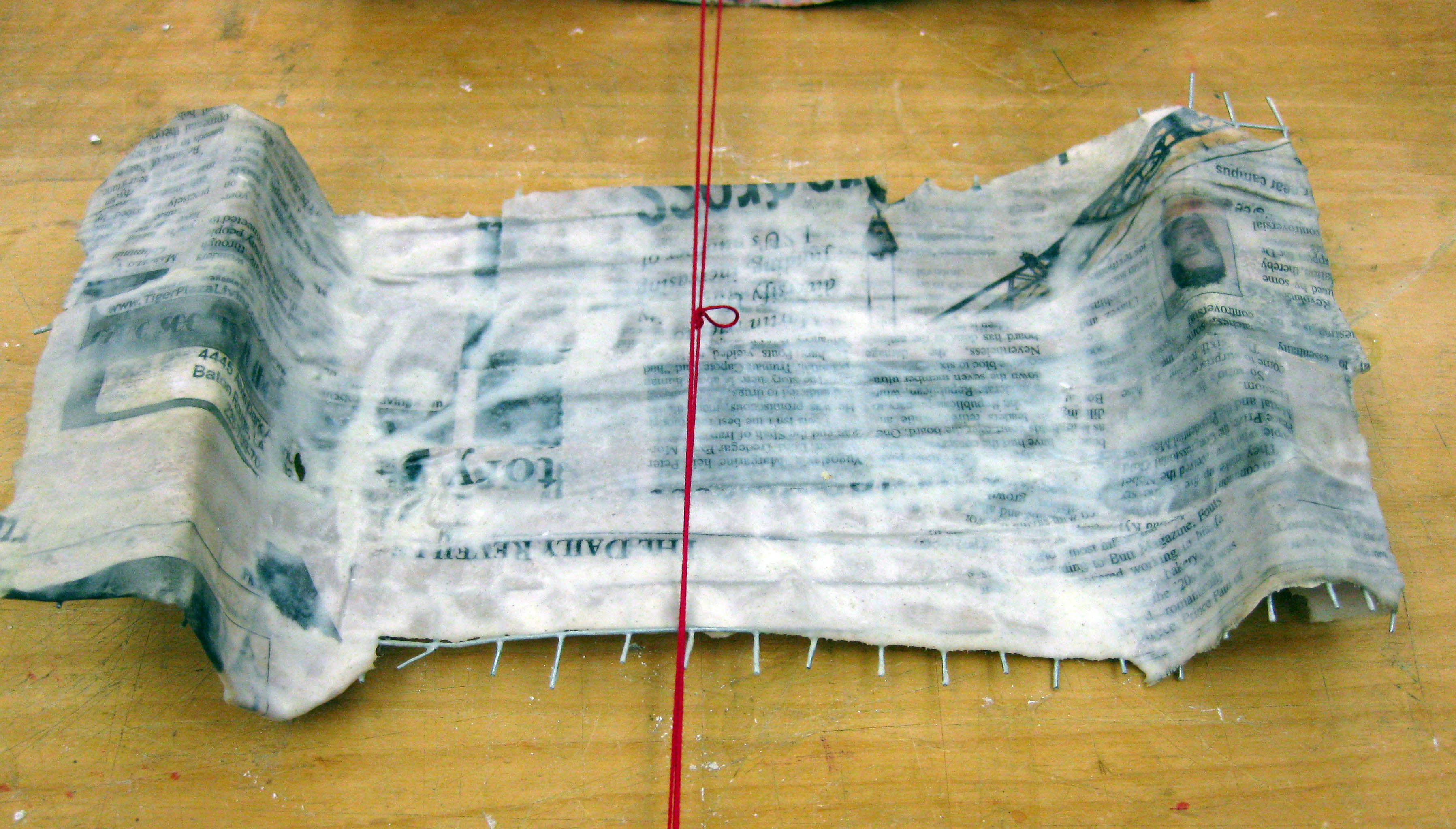
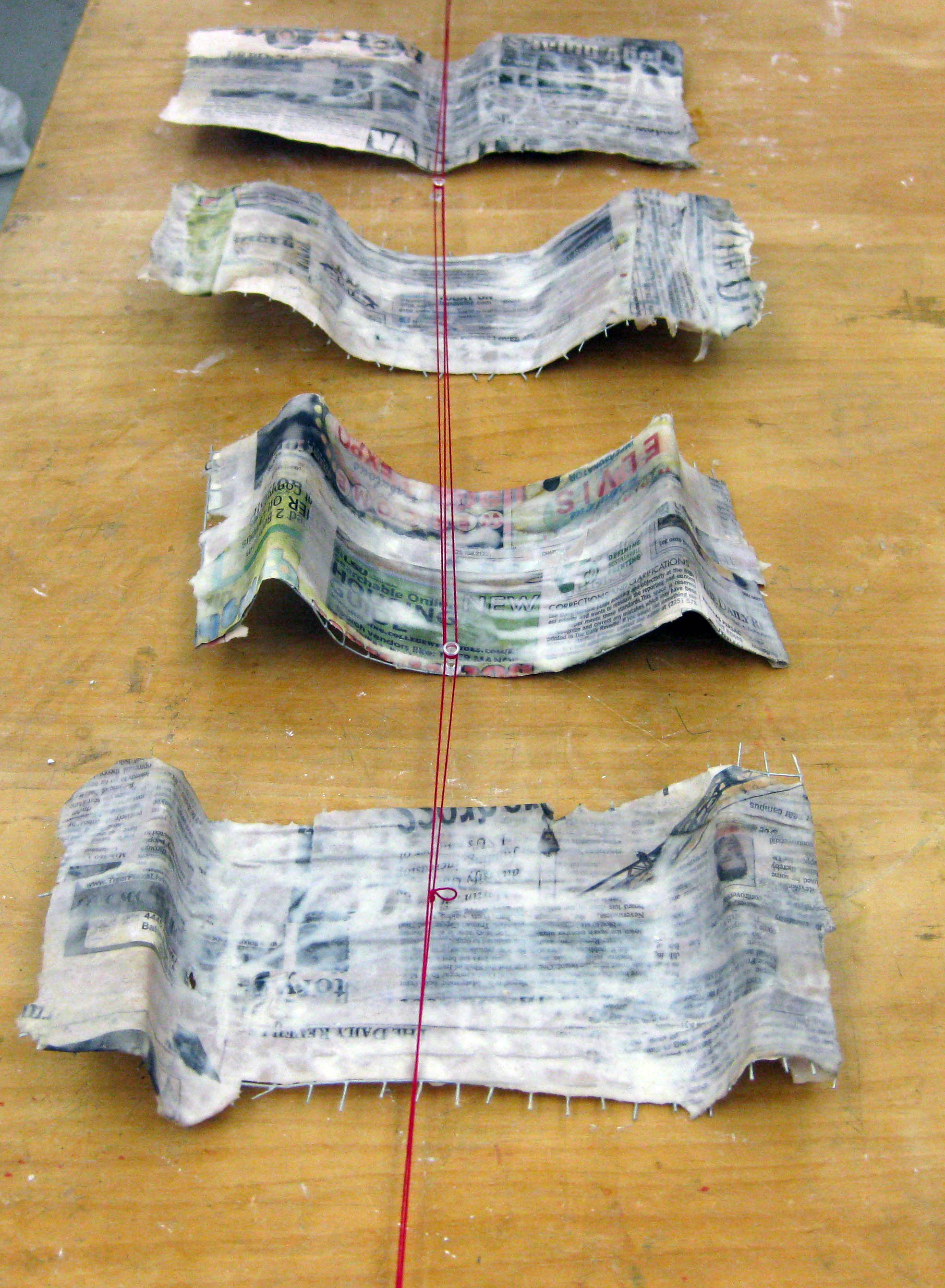
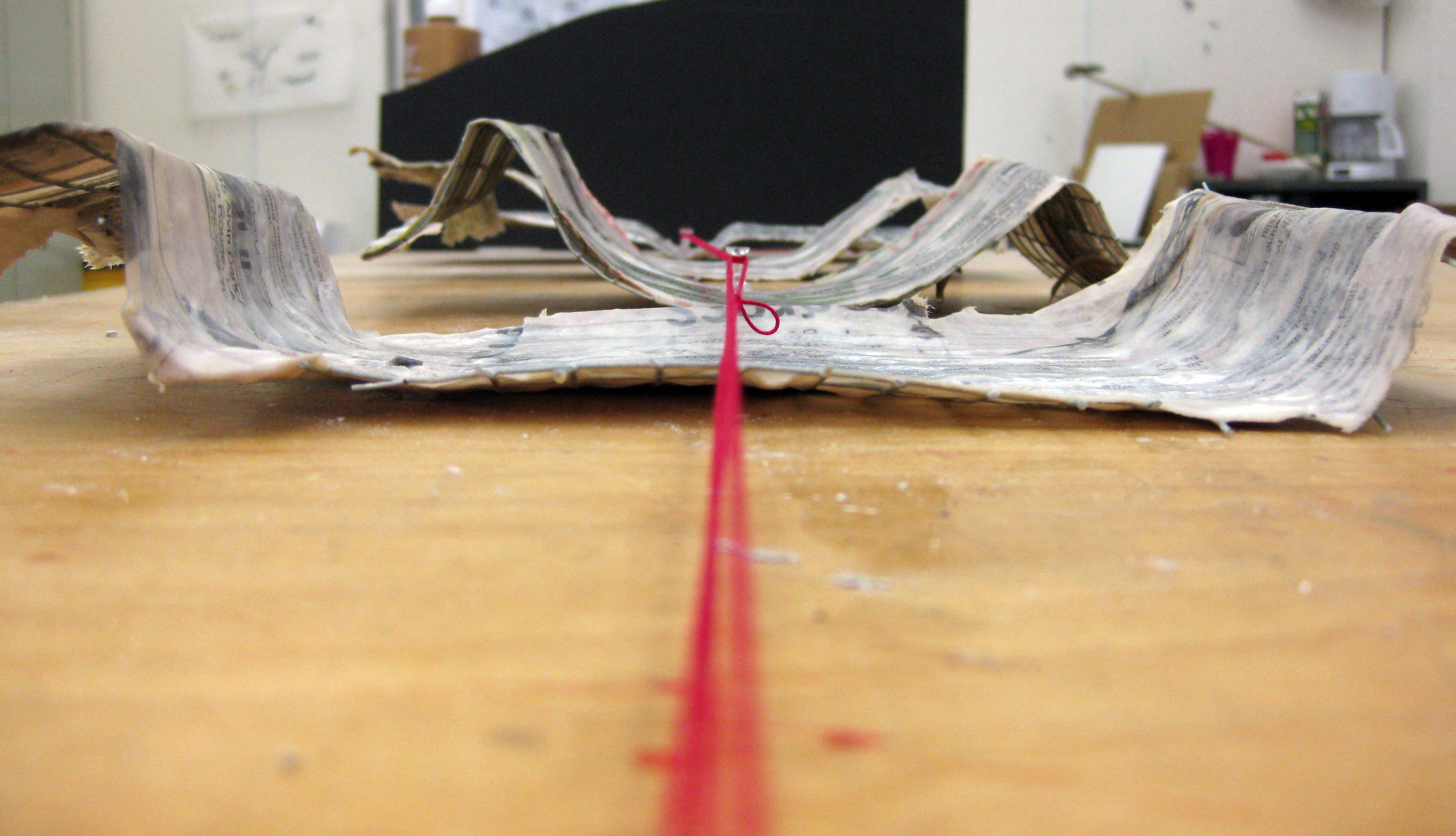

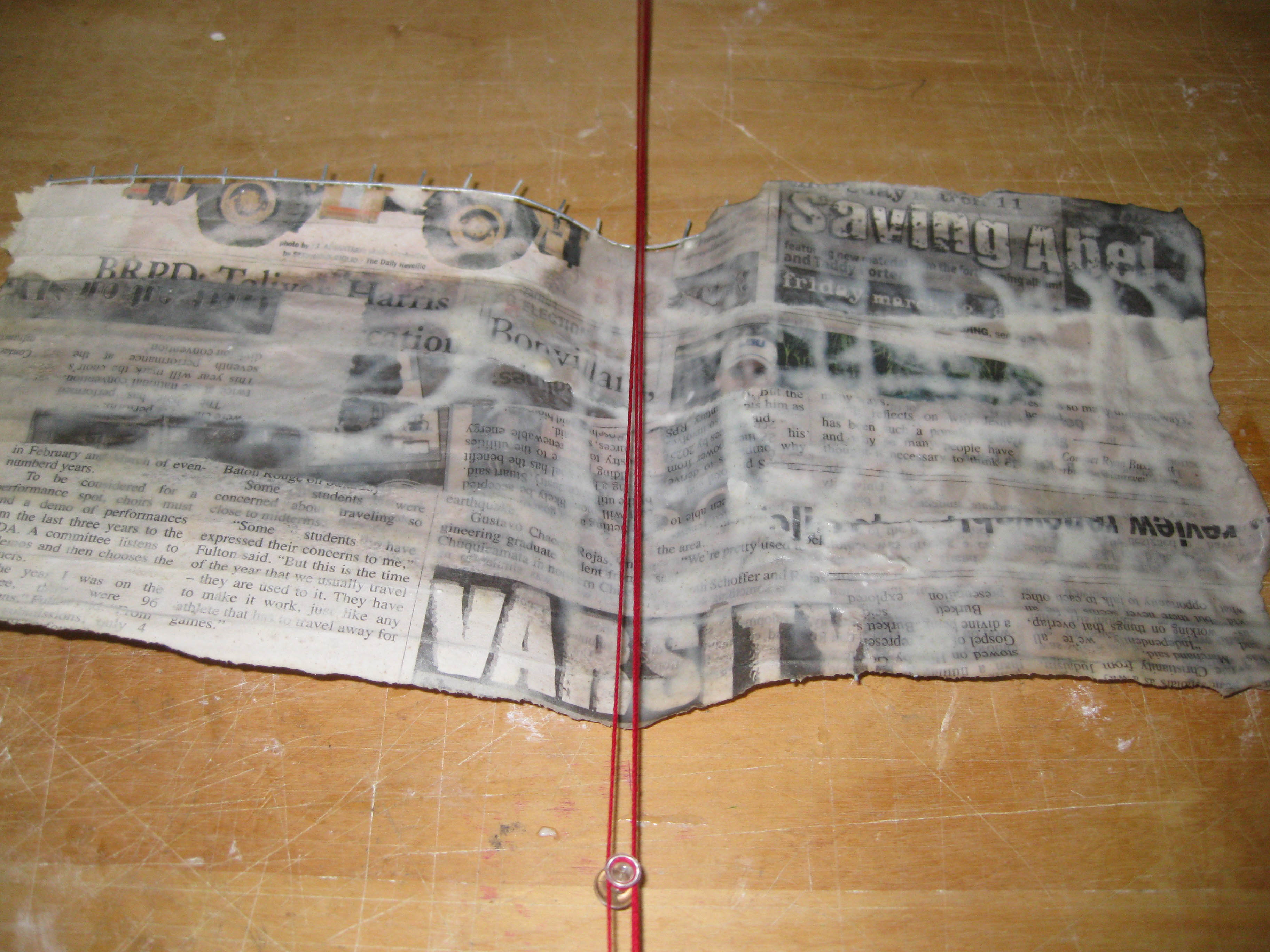
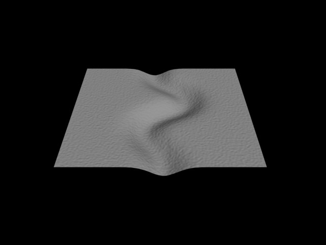
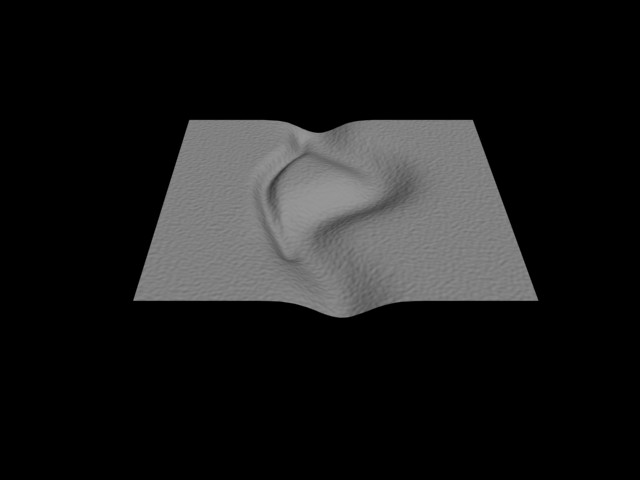
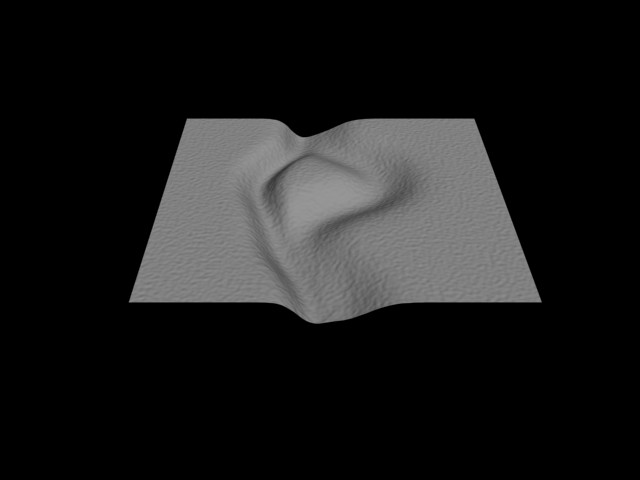
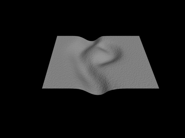
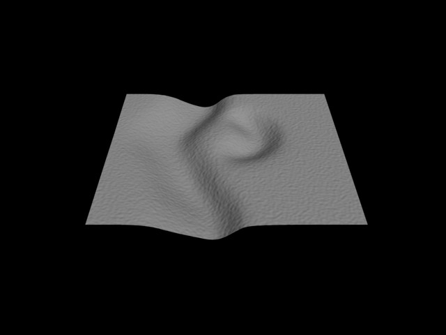
The new digital models will help strengthening the ideas behind the actual river model currently in the construction stages. The models will show in more detail how the river fluctuates and changes due to erosion/sediment/ in which the 3d models will begin to show. Currently we are trying to incorporate rendering the models with water(particle flow) and a more realistic ground plane. The animation will begin to gradually show the changing of the river yet somehow leaves remnants of lines or other pieces of the model to see how the river is really fluctuating.
Here is a tutorial used to help create png files in Photoshop for displacement maps in 3ds max.